Ontario's 100 Kilometre Credit Valley Trail Is 43 Kilometres Built
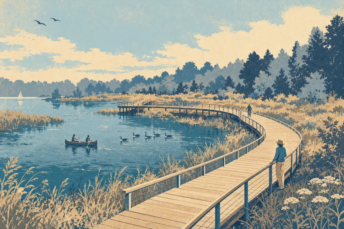
A 100 kilometre trail is taking shape along the Credit River, running from the river's headwaters at Orangeville in Dufferin County down to Lake Ontario at Port Credit. Forty three kilometres are already connected, with 57 left to build.
Credit Valley Conservation describes the route as an outdoor living classroom, built to connect people to nature, Indigenous heritage, arts and culture, and the Credit River. The land it crosses is the Treaty Lands and Territory of the Mississaugas of the Credit First Nation, and the trail is meant to carry that history through the parks and public spaces along the way.
What you can do on it is broad: walking, cycling, running, birdwatching, fishing and paddling, then snowshoeing and cross-country skiing once the weather turns. The conservation authority also expects the finished trail to pull tourism into the watershed's towns, past restaurants, galleries, festivals and outdoor theatre.
Two pieces landed this year. A 40 metre pedestrian bridge opened at Upper Credit Conservation Area in Caledon in late August, and 407 ETR put $1.5 million toward the Giigoonh (Fish) Doodem Indigenous placemaking space at Charles Sauriol Conservation Area, also in Caledon.
The money is coming from a 10 year, $10 million campaign that started in 2020 and sits at 60 per cent of target. Route maps and progress are on the Credit Valley Trail site, and the remaining 57 kilometres are funded by donations.
Burlington news like this, in your inbox three mornings a week.